W1ANT Satellite Tracker
safenonpoisonousdetected
- type:Communications
- Version:v1.11
- size:0MB
- update time:2024-12-28 11:54:24
tag:
Hot collection
List recommendation
- introduction
- picture
- Boutique
- Related
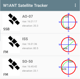
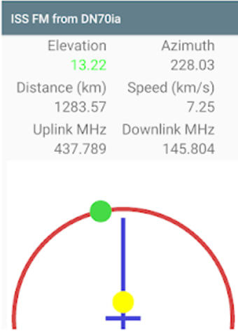
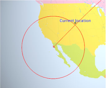
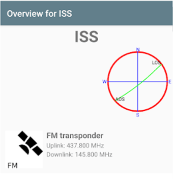
Developer's DescriptionBy Heimir Thor SverrissonGet a list of Amateur Radio satellites visible from your current location in the next 24 hours.Get a list of Amateur Radio satellites visible from your current location in the next 24 hours. Get an overview over their paths from acquisition to loss of signal (AOS to LOS). Only passes above the minimum elevation are shown on the list. Select one of them and get information on their on-board radios. Select one of their radios and be able to point your phone directly at it so you can easily operate it. Extra information, i.e. the actual frequencies to use for uplink and downlink is also presented taken the Doppler effect into account.The Location view on the Satellite Overview page shows the current position of the satellite over Earth including the circle that demarcates the area where it is above 10 degrees above the horizon (reachable by radio). This view also shows its path for the next 60 minutes. Pinch to zoom and drag to change your point of view over Earth.There is also a Passes view on the Overview page that lists all passes where this satellite will be over the horizon at the current location in the next 48 hours.The minimum elevation for the starting list can be changed from its default 10 degrees in the Settings.
Screenshot group
Boutique recommendation
Related recommendation
Ranking in this category
more type
- Game information
- Walkthrough
- Exclusive to girls
- Exclusive for boys
- Mobile game assistance
- Legendary game
- Xianxia game
- Business development
- physical exercise
- Card game
- Racing car racing
- Take risks to solve puzzles
- Break through the barrier
- Leisure puzzle
- Strategic tower defense
- Shooting gun battle
- Cosplay
- Utilities & Tools
- Travel
- Security Software
- Screensavers & Wallpaper
- Productivity Software
- Multimedia
- Internet Software
- Games
- Entertainment Software
- Educational Software
- Developer Tools
- Communications
- Browsers
