112 MNE
safenonpoisonousdetected
- type:Communications
- Version:v1.05-beta
- size:0MB
- update time:2024-12-28 11:38:01
tag:
Hot collection
List recommendation
- introduction
- picture
- Boutique
- Related
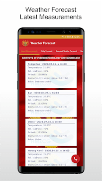
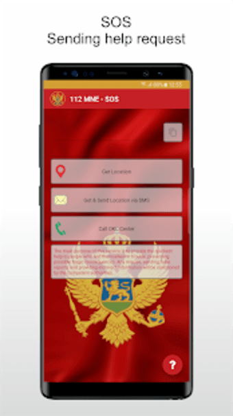
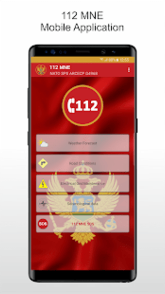
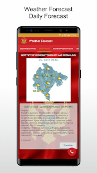
Developer's DescriptionBy Operativno komunikacioni centarThe application is developed in cooperation between the Ministry of the Interior Directorate for Emergency Management of Montenegro and NATO...The application is developed in cooperation between the Ministry of the Interior Directorate for Emergency Management of Montenegro and NATO Alliance. This partnership is realized through Science for Peace and Security Program, NATO SPS ARCECP G4968 Project. These activities represent significant investment by the NATO Alliance in civilian structures, with the engagement of scientists, i.e. young researchers in the project, who also developed this application.The primary purpose is to provide the fastest assistance to everyone in trouble, therefore preventing possible tragic consequences. The application provides precise determination of his or her location, and the option of sending the location via SMS or by calling 112.Also, it offers basic service information from Montenegro: weather forecast and seismological data, road condition services, and works on electrical network. Data is downloaded from official sites of Institute of Hydrometeorology and Seismology of Montenegro, Auto-moto Association of Montenegro, Montenegrin electricity distribution system (CEDIS), and Ministry of the Interior.Road condition service provides the option of graphical display of planned works, information on whether a particular route is open, locating the closest roadside assistance regarding the location of the users, as well as camera view on border crossings.Application provides relevant contact information of emergency services of aforementioned institutions.It is available in Montenegrin and English language.
Screenshot group
Boutique recommendation
Related recommendation
Ranking in this category
more type
- Game information
- Walkthrough
- Exclusive to girls
- Exclusive for boys
- Mobile game assistance
- Legendary game
- Xianxia game
- Business development
- physical exercise
- Card game
- Racing car racing
- Take risks to solve puzzles
- Break through the barrier
- Leisure puzzle
- Strategic tower defense
- Shooting gun battle
- Cosplay
- Utilities & Tools
- Travel
- Security Software
- Screensavers & Wallpaper
- Productivity Software
- Multimedia
- Internet Software
- Games
- Entertainment Software
- Educational Software
- Developer Tools
- Communications
- Browsers


